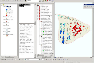
Spatial Statistics Tools toolbox in ArcGIS was used to examine the spatial pattern and distribution of a dengue fever outbreak in India. The map results from the hot spot analysis reveal a statistically significant clustering of dengue fever cases in the east, given the overall pattern of dengue in the village.
Click the image to enlarge.
Created by Andrea Villanes
No comments:
Post a Comment